


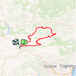

20 km | 32 km-effort


User


FREE GPS app for hiking
 SityTrail
IGN / Geographical institutes
SityTrail World
The world is yours!
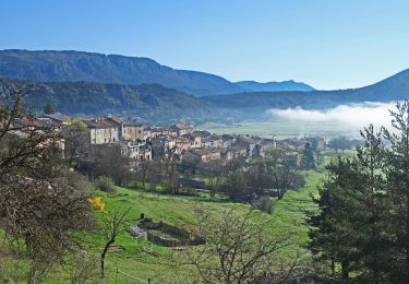
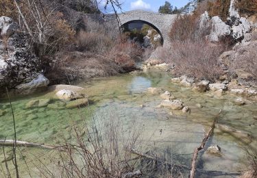
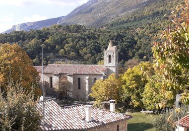
Trail Cycle of 110 km to be discovered at Provence-Alpes-Côte d'Azur, Var, La Martre. This trail is proposed by Sugg.
Sortie vélo du 22 avril 2015 au départ du Logis du Pin.
Groupe 1 de Restons en Forme
10 courageux au départ,
Très beau parcours, magnifiques paysages sous le soleil, des passages difficiles voir long ( col de Pinpinier ) et la touche finale avec Le col de Bleine.
5h50 de pédalage, pause casse croûte à SIGALE.
A refaire avec des braquets adaptés, pour moi le 34x25 était parfois un peu juste.
@ CDT
Walking
Walking
Walking
On foot
Walking
Walking
Walking
Walking
Walking